Address
304 North Cardinal St.
Dorchester Center, MA 02124
Work Hours
Monday to Friday: 7AM - 7PM
Weekend: 10AM - 5PM
Address
304 North Cardinal St.
Dorchester Center, MA 02124
Work Hours
Monday to Friday: 7AM - 7PM
Weekend: 10AM - 5PM

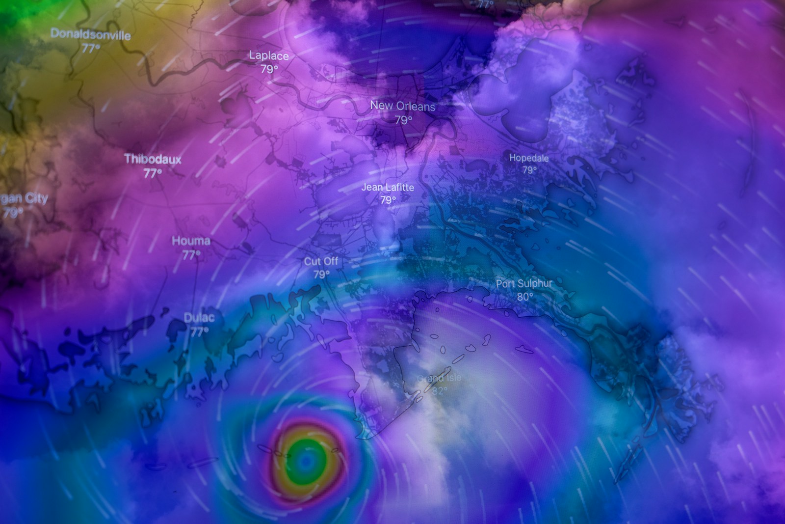
Hurricane
Hurricane Erin has intensified into a Category 2 storm with winds reaching close to 100 miles per hour, stirring in the Atlantic Ocean roughly 400 miles southeast of Cape Hatteras, North Carolina. Although the storm’s center is not expected to make direct landfall in the United States, its enormous size is already bringing life-threatening conditions along the East Coast. Tropical storm-force winds extend hundreds of miles from its eye, meaning that millions of residents are feeling Erin’s reach even from a distance.
Beaches from Florida to New York are now closed due to powerful waves and rip currents. Lifeguards and emergency responders have reported multiple rescues, and authorities have stressed that swimming in the ocean at this time is extremely dangerous. On North Carolina’s Outer Banks, where the impact is being felt most severely, officials have issued mandatory evacuations for Hatteras and Ocracoke Islands. Highway 12, the lifeline of the Outer Banks, is already experiencing flooding as high tides combine with storm surge. Forecasters warn that surge levels in these barrier islands could reach up to 15 feet, enough to inundate homes and cut off access to entire communities.
In response to the growing threat, North Carolina Governor Josh Stein declared a state of emergency, mobilizing resources to protect coastal residents. Local governments across Virginia, Maryland, Delaware, New Jersey, and New York have also begun strengthening flood defenses and issuing advisories as Erin’s powerful surf pushes northward. The National Hurricane Center (NHC) has emphasized that Hurricane Erin, despite remaining offshore, is not a storm to underestimate. Its warnings highlight the dangers of coastal flooding, beach erosion, and widespread power outages if conditions worsen.
Meteorologists forecast Erin will continue moving north-northwest before gradually turning northeast, staying offshore but keeping the East Coast under threat for several more days. By the weekend, the storm could bring severe weather to Atlantic Canada before its remnants track toward Ireland and parts of Western Europe. Although Erin will likely weaken before reaching those regions, forecasters caution that it may still bring heavy rain and strong winds across the Atlantic.
For residents and travelers, the message is clear: this is a storm to take seriously. Authorities advise everyone in affected areas to avoid entering the water under any circumstances and to closely follow evacuation orders where issued. Coastal property owners are urged to secure outdoor belongings, prepare for possible flooding, and stay tuned to official updates from local emergency agencies and the National Hurricane Center.
Hurricane Erin is a stark reminder that a storm does not have to make landfall to cause widespread disruption. The combination of rip currents, storm surge, and flooding makes this hurricane one of the most dangerous events of the 2025 Atlantic season so far. With summer activities and coastal tourism still in full swing, residents and visitors alike are being asked to put safety first until the storm fully passes.